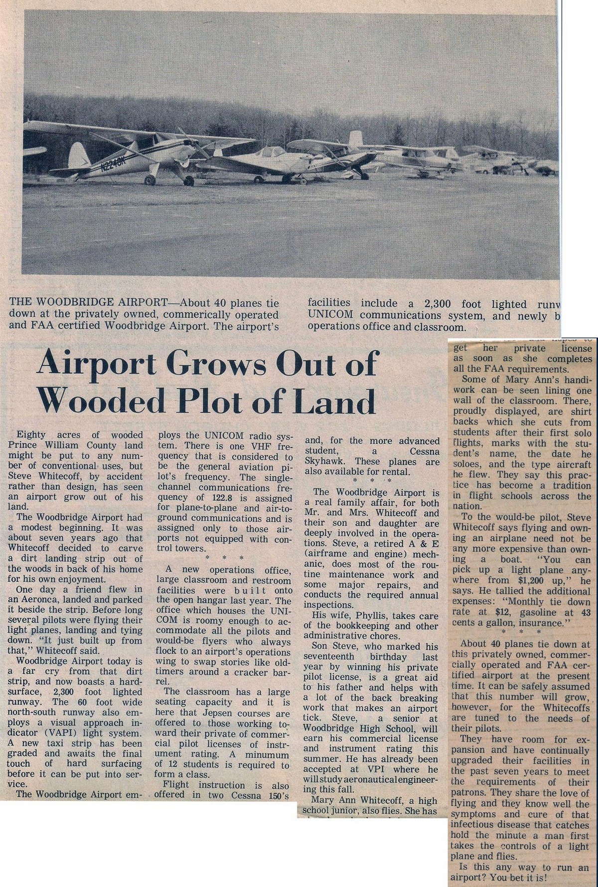
Woodbridge Airport
By David Cuff - Dec. 2018
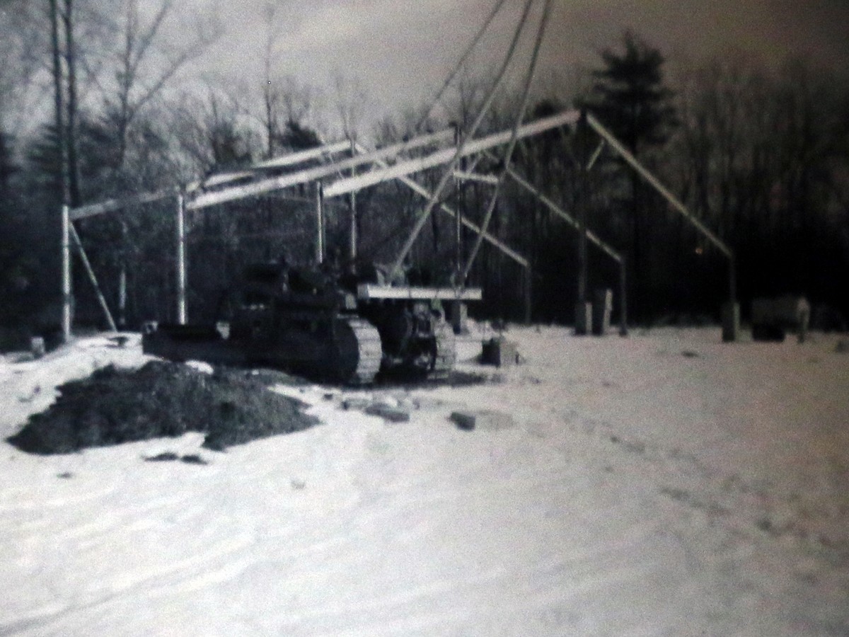
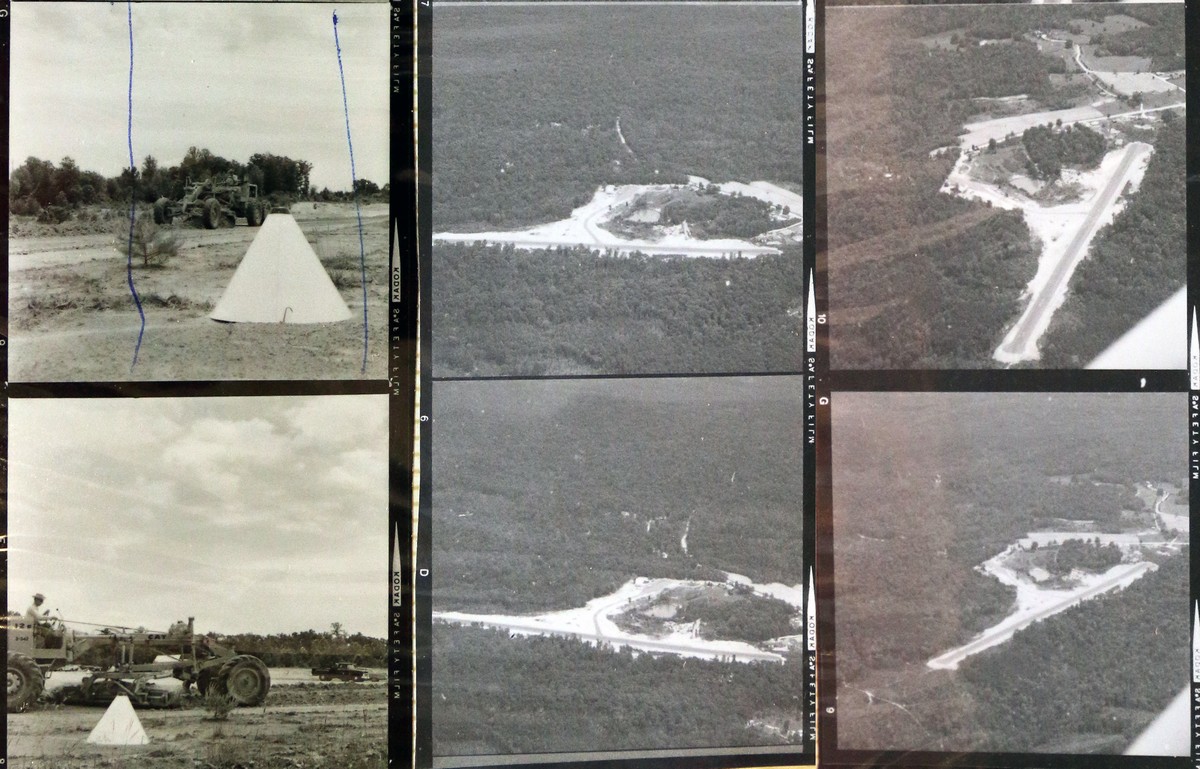
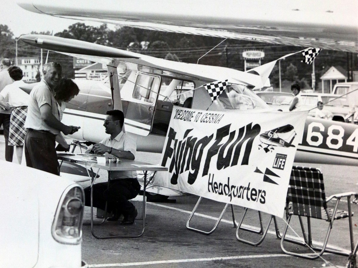
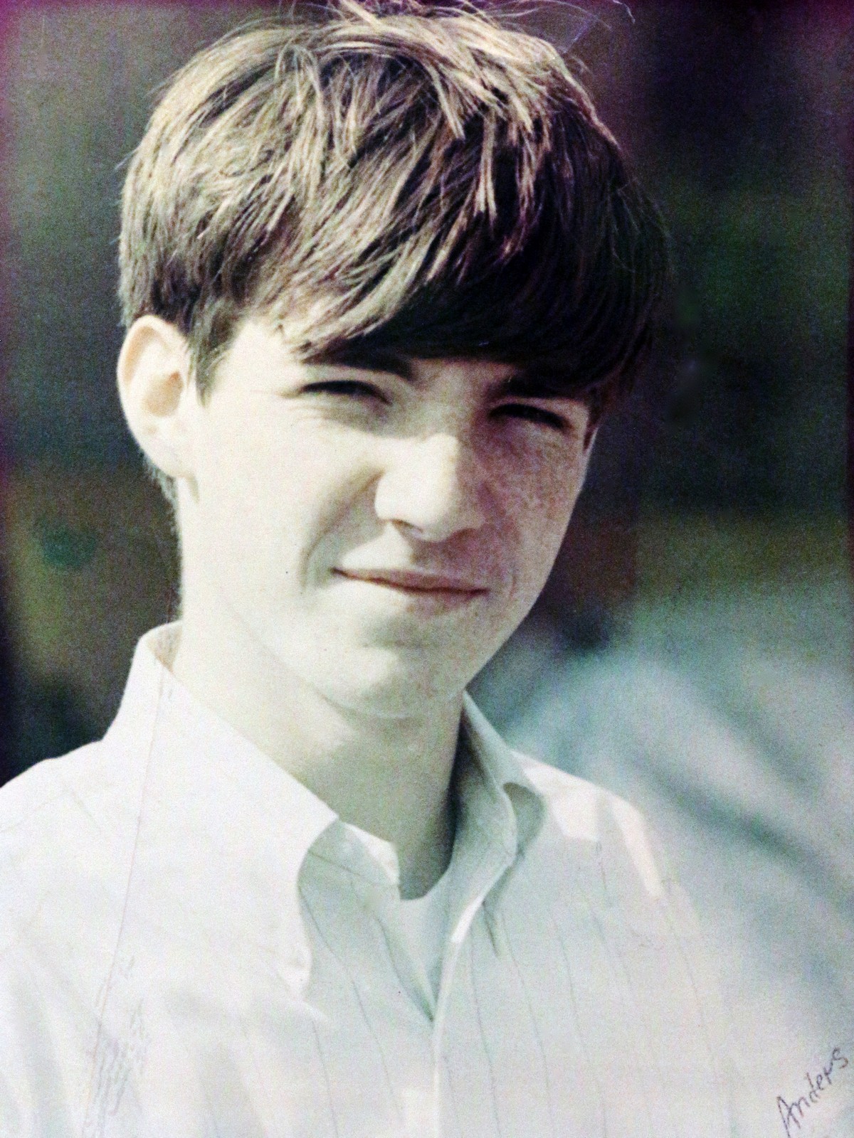
In 1959 Steve Whitecoff bulldozed a straight, but not flat section of property behind his house on what then was called the Old Woodbridge Road. The airport was built in a time when personal aviation was taking off. Thanks to few regulations and pilots returning home after WWII, flying had taken off in the country.
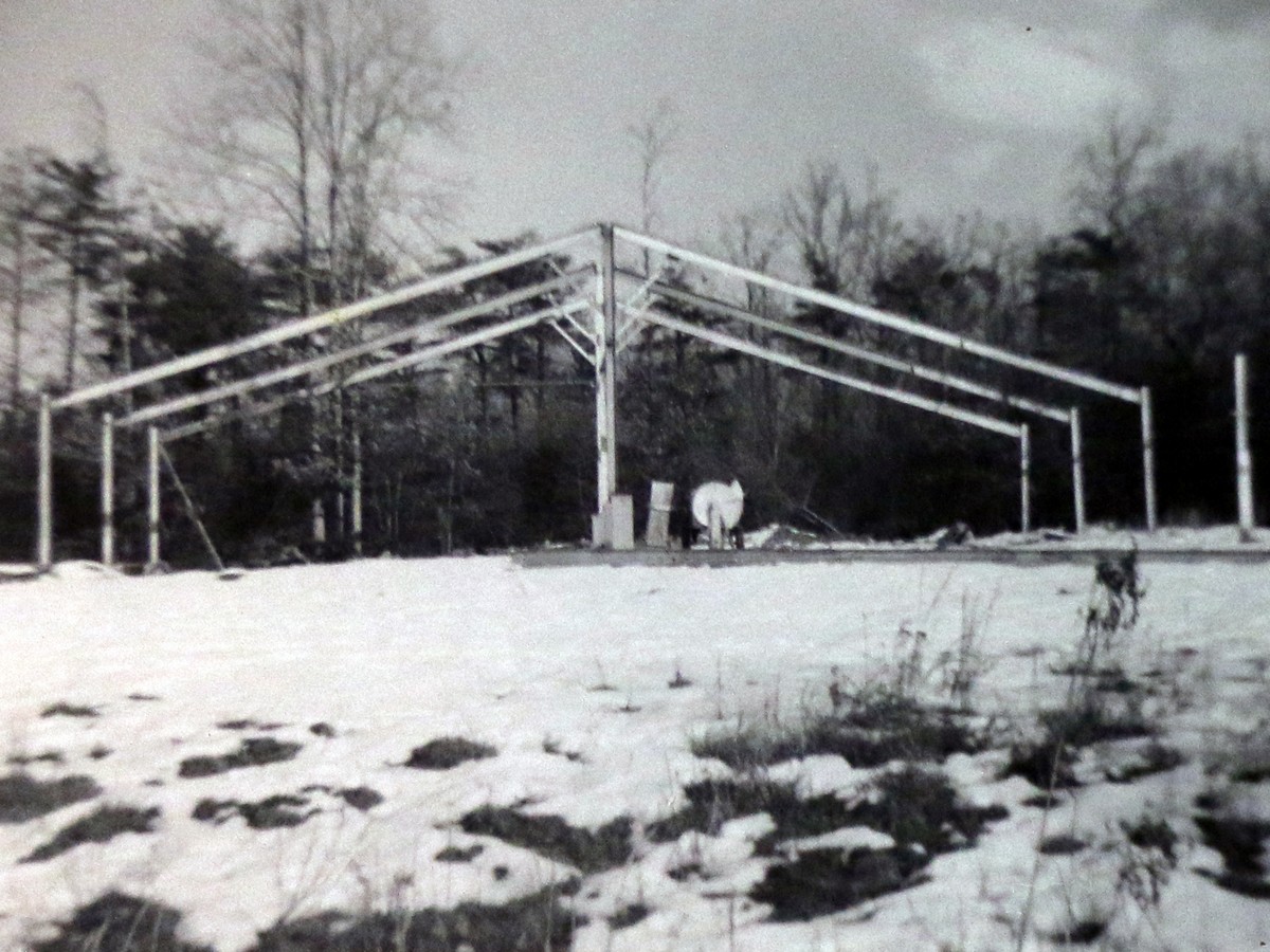
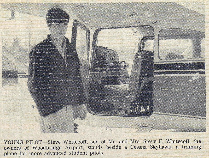
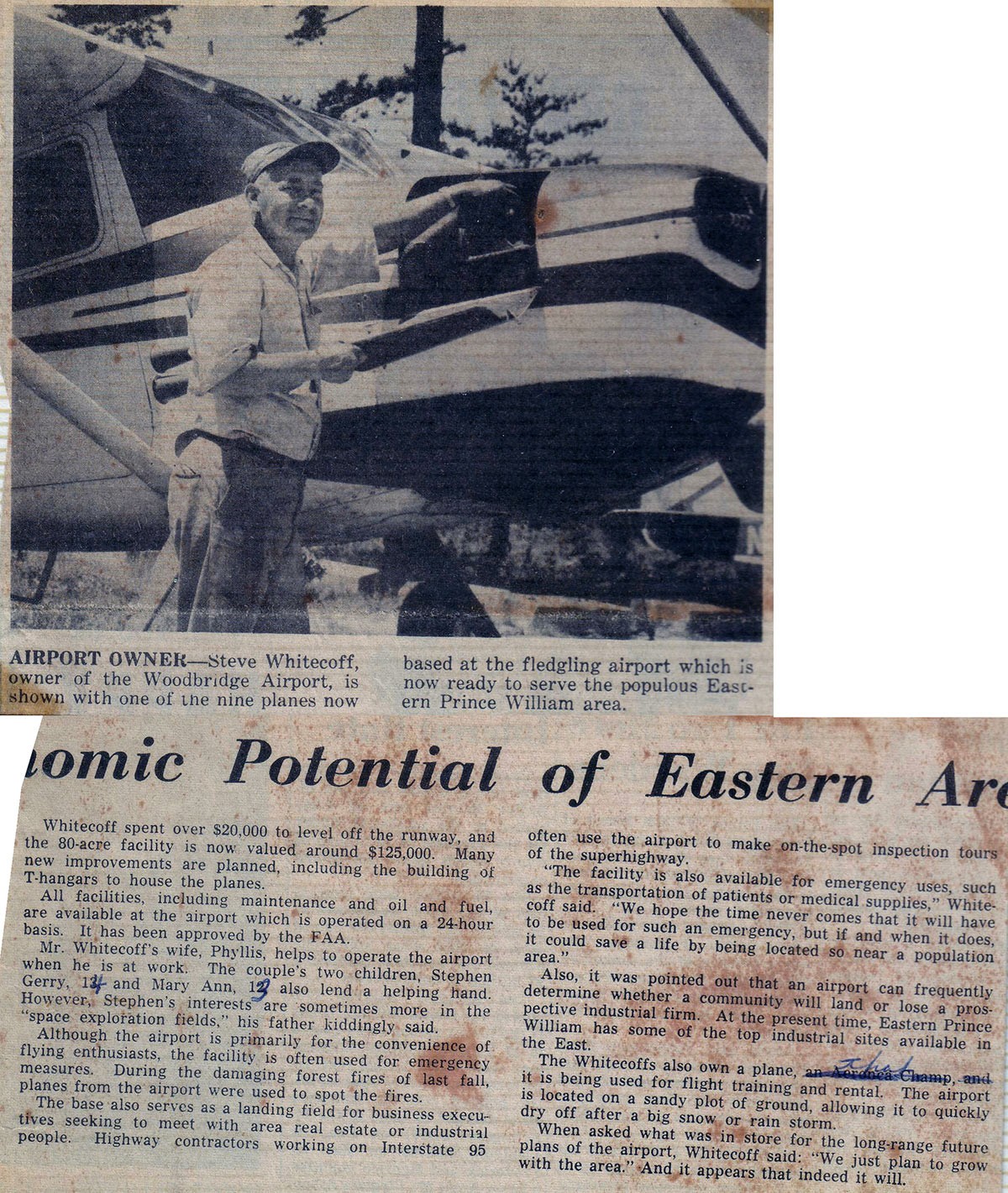
It was just a couple years before the first bank of hangers were built and then another bank with more than 100 small planes calling Woodbridge Airport home.
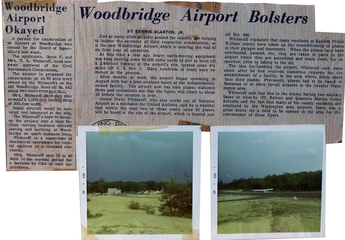
The 1960s through the 1970s was a great time to be a local pilot. By 1979 neighborhood development began to come very close to the airport. Steve Whitcoff is credited for renaming Bridge Road, Old Bridge Road. It seems every couple of generations knew the road as something slightly different. Even in the Newspaper article below published then the airport was just getting started, it refers to the road as the Old Woodbridge Road.
On an 1862 Union Army map (image of map, link to map) a road and bridge crossing Hooes Run was noted with the road labeled as "New Bridge Road". Prior to this, it's likely the crossing of Hooes Run was a ford, or a shallow section of the stream where horses, wagons, and later automobiles could cross the waterway. On the 1901 William Brown map present day Old Bridge Road is labeled as just "Bridge Road". The bridge crossing was no longer new, as the generation at the time the map was drawn didn't remember there not being a bridge over Hooes Run. According to an article by the Old Bridge Observer on Feb. 10, 1990 by Suzie Takacs titled How Old Bridge Road got its Name when Steve Whitecoff started the Woodbridge Airport he renamed Bridge Road to Old Bridge Road. At this time the wooden bridge was still in place, was only a single lane, and the road before and after the bridge was not paved.
In 1970 Ridge Development started to develop Lake Ridge and the wooden bridge was removed. The road was widened and paved. In 1979 the now divided two lane in-each-direction Old Bridge Road became a single lane each way shortly after Hedges Run Drive and a little before the Woodbridge Airport. The road was narrow and curvy. When development came the road was widened and straightened. Sections of the single lane Old Bridge Road exist today but have been improved of course. Old Bridge Lane near Chinn Library follows the old route. It continued onto present day Chinn Park Drive and met present day Prince William Parkway but back then it was Davis Ford Road.
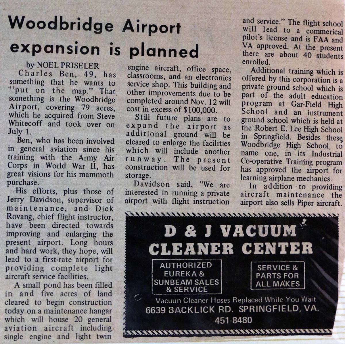
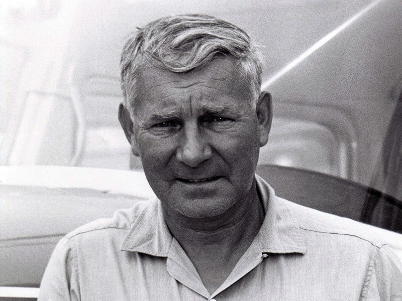
Woodbridge Airport continued to survive among the residential development. The Whitecoff family sold the airport in 1970 to Charles Benn, an Army Air Force veteran who had operated the Washington-Virginia Airport after he and his brother, John D. Benn bought it in 1946. Following John Benn's death in 1967 and pressure from developers Charles Benn and John D. Benn Jr. sold the Washington-Virginia Airport and Charles bought the Woodbridge Airport. The end for the airport came in 1987 when a commercial development company purchased the property, a year after Charles Benn retired. In 1989 Benn was elected to the Hall of Fame of the Virginia Aeronautical Society in recognition of "his distinguished contribution to the progress of aviation." Benn died at the age of 83 on September 1, 2004 in Salem, Virginia.
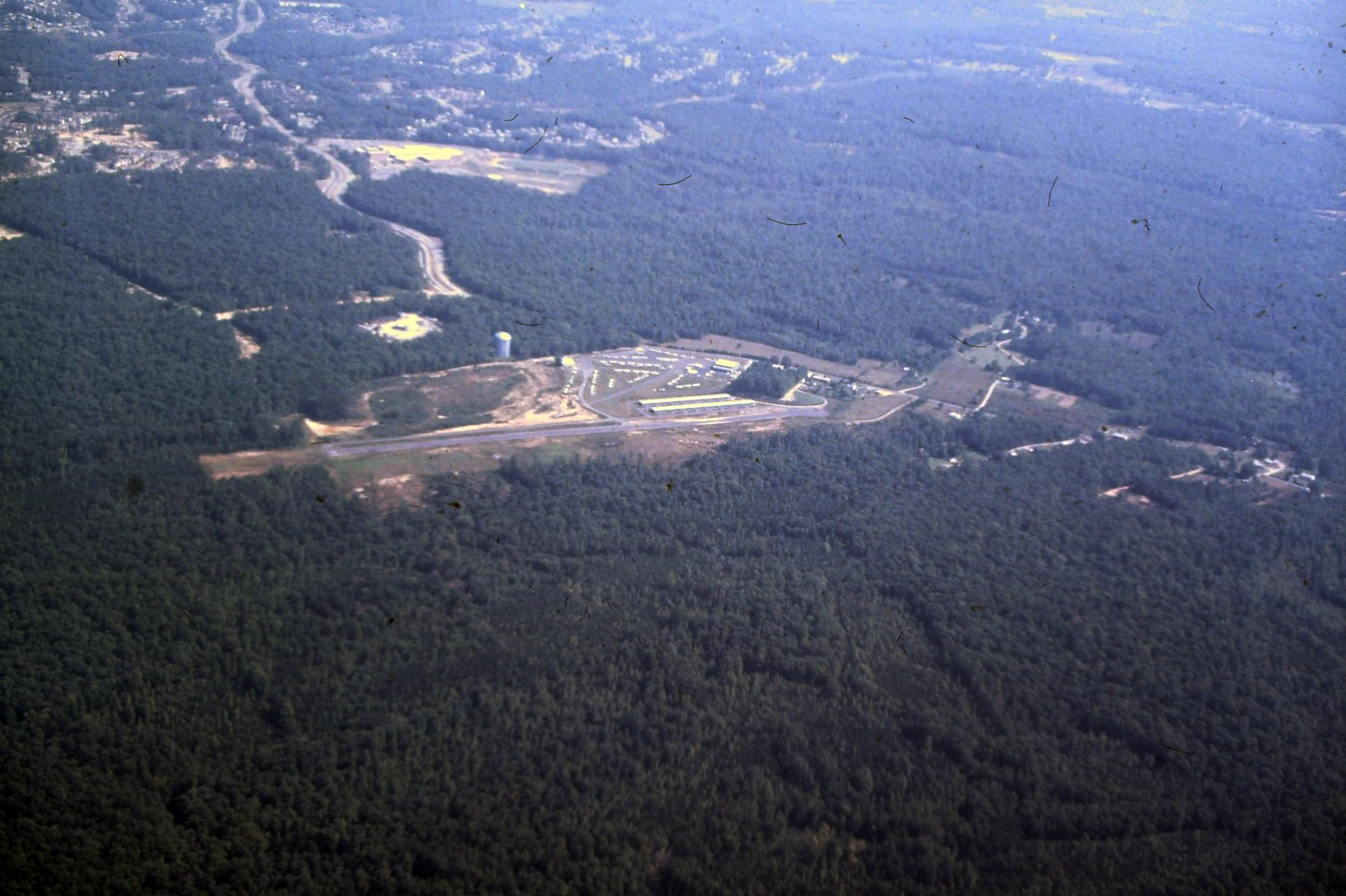
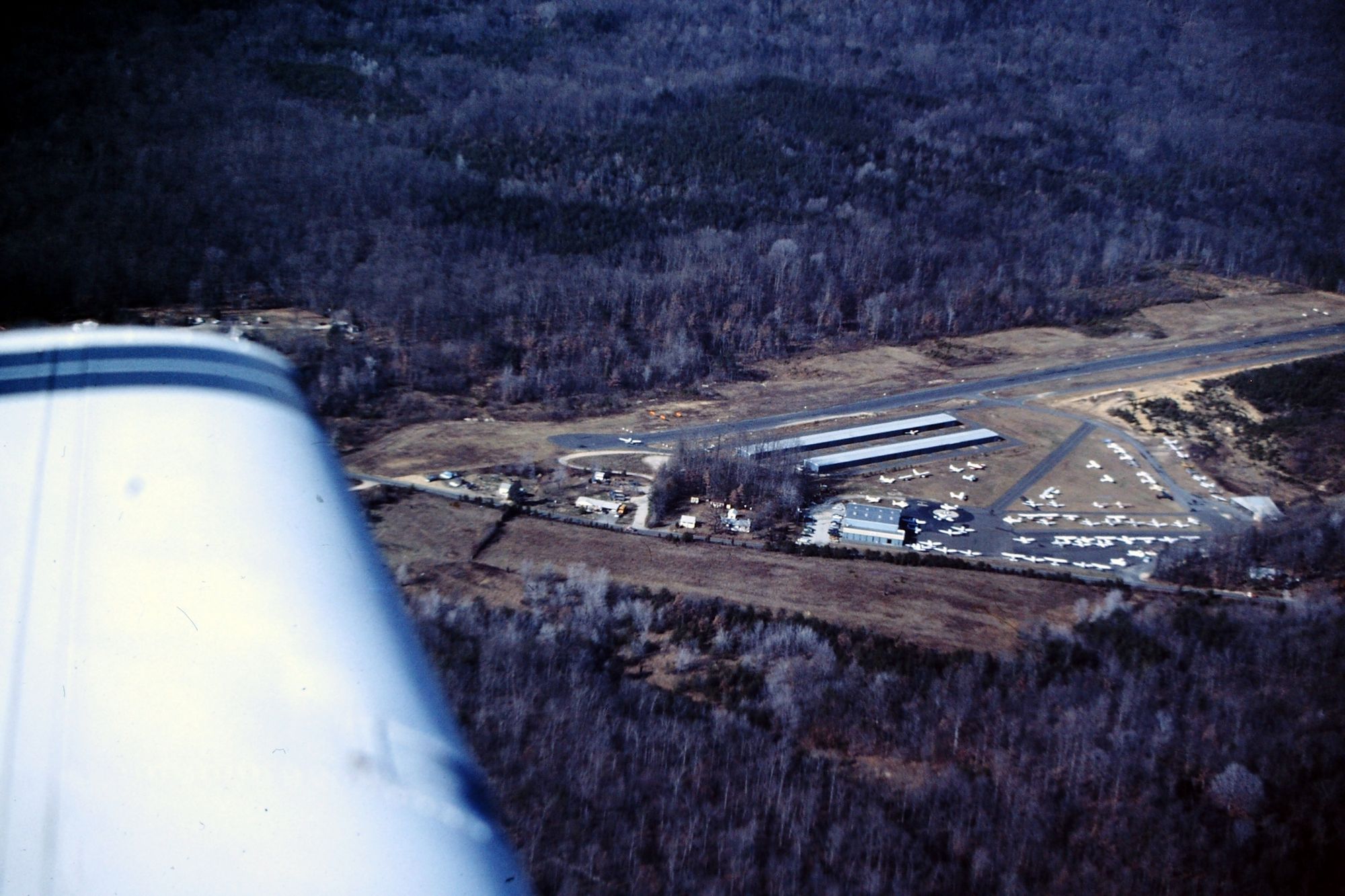
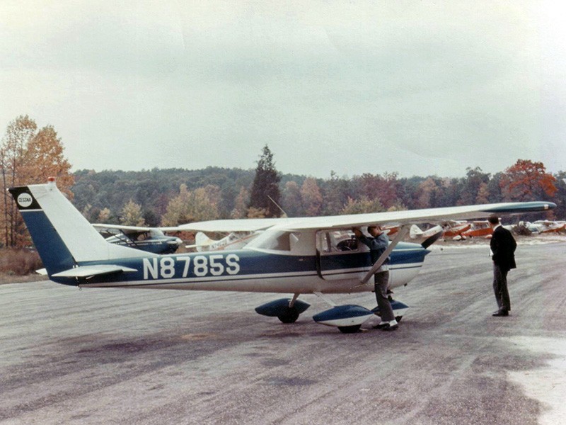
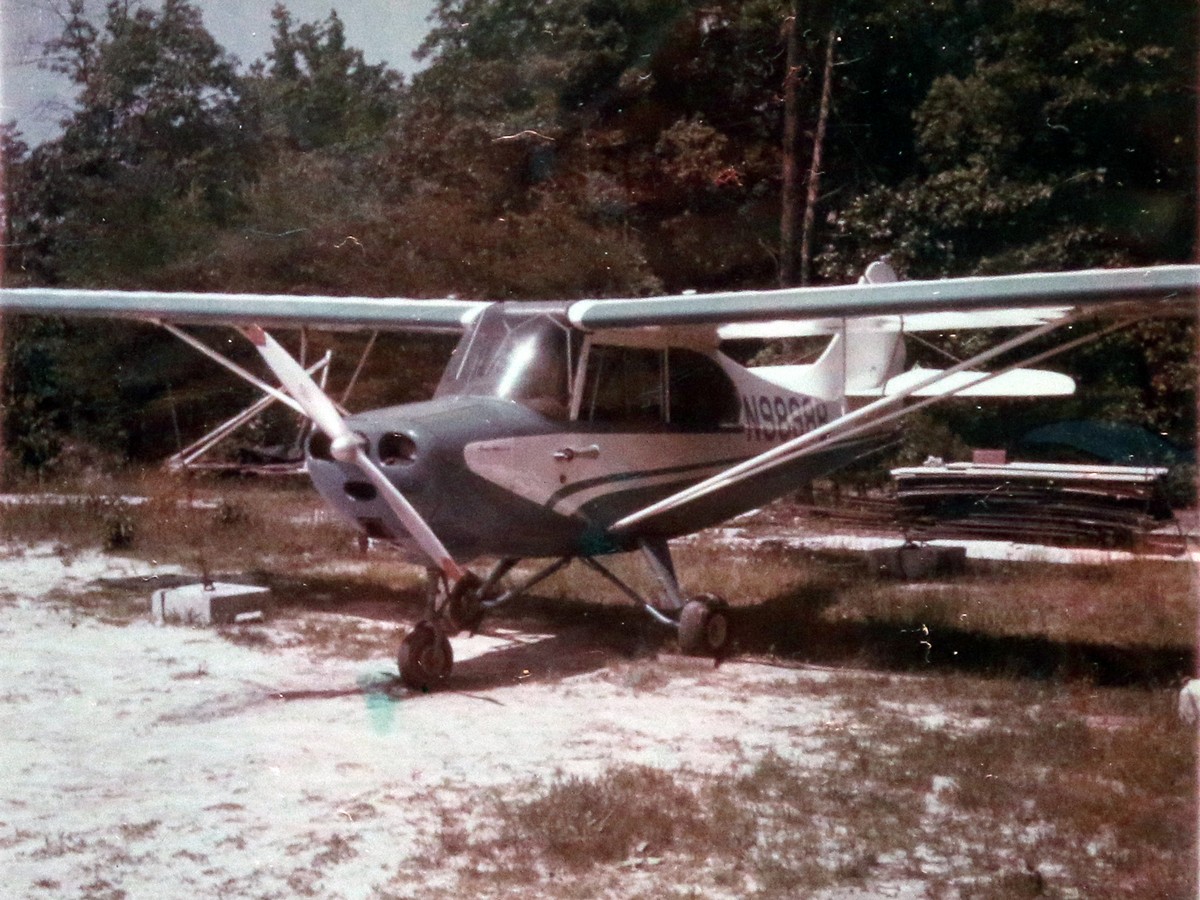
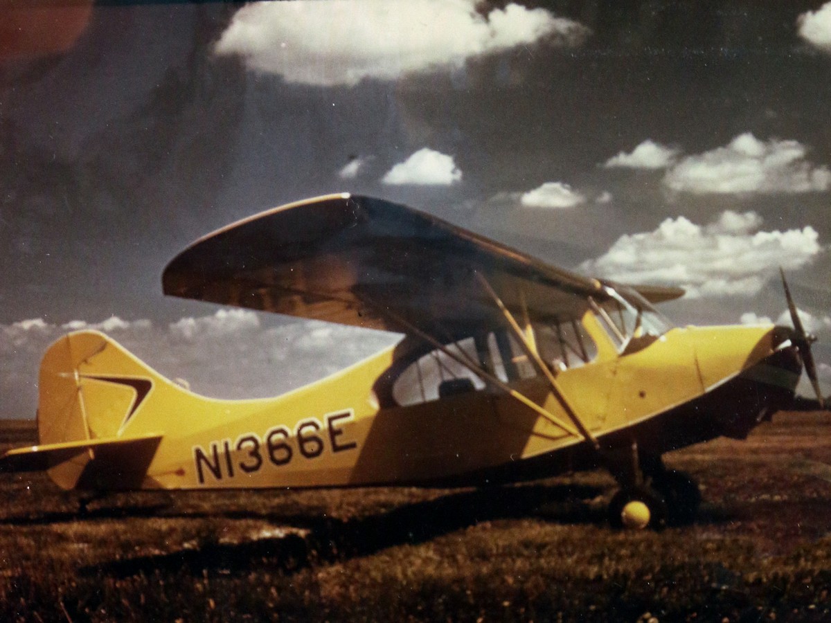
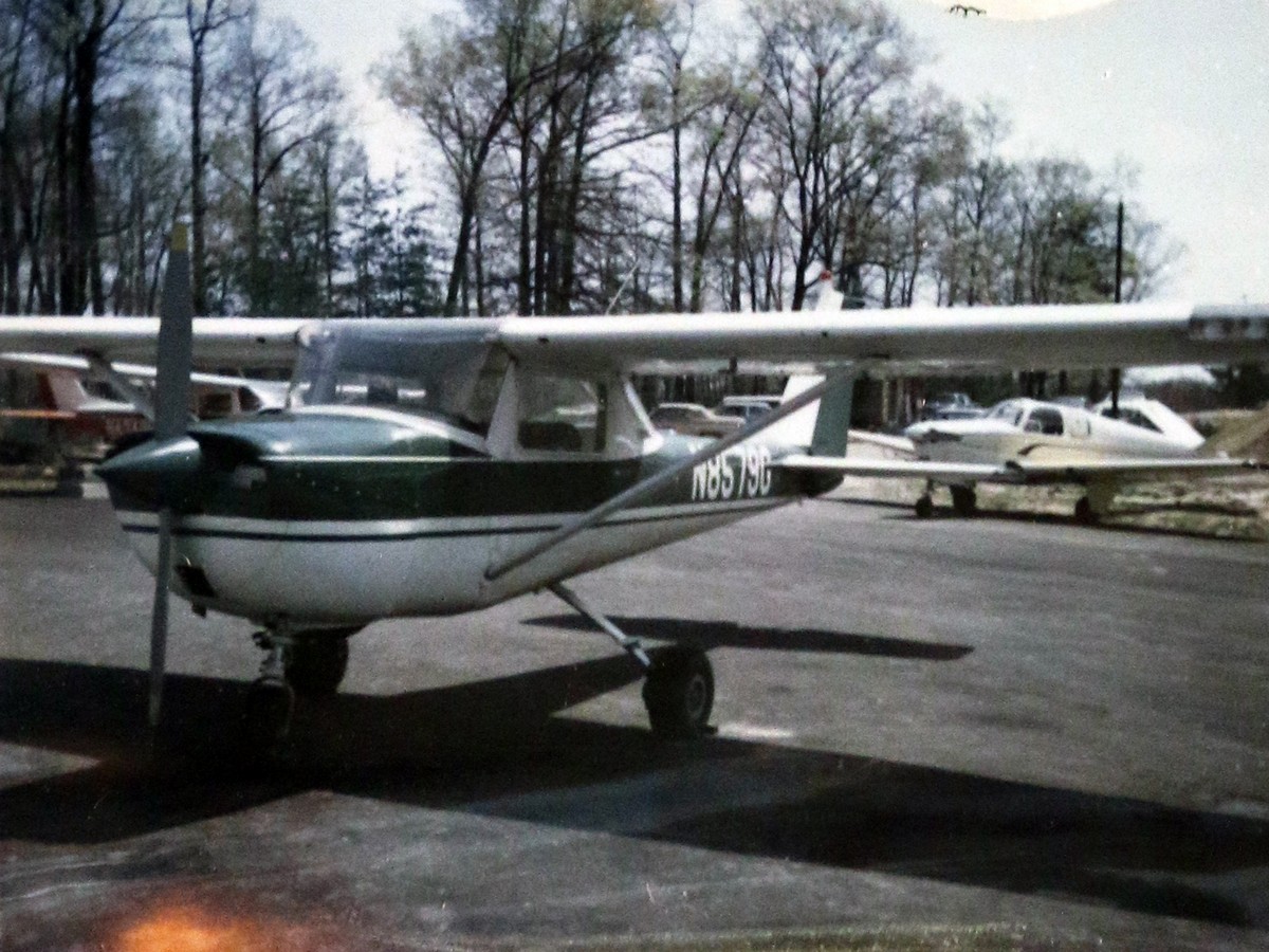
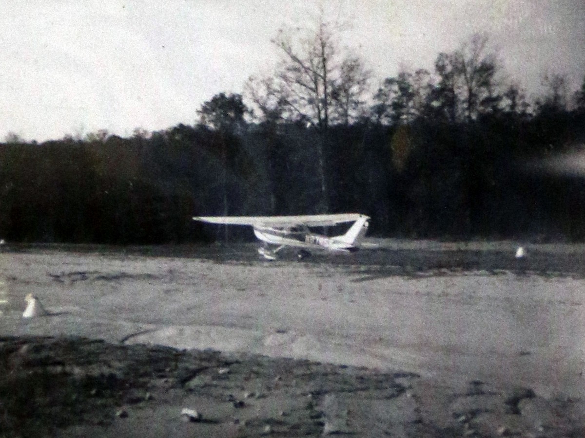
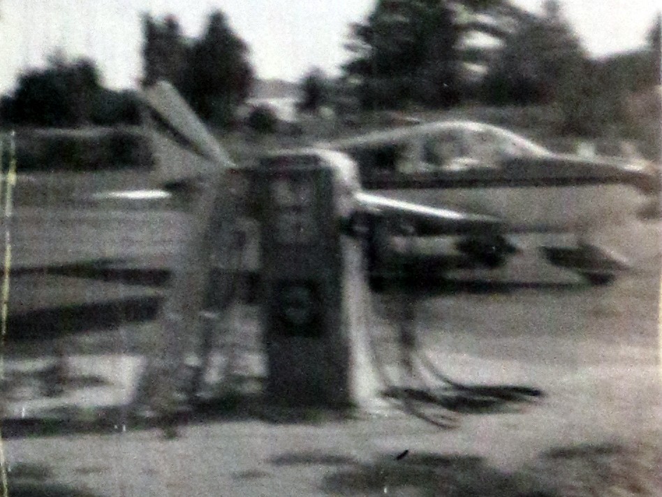
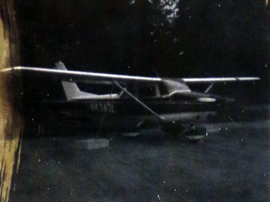
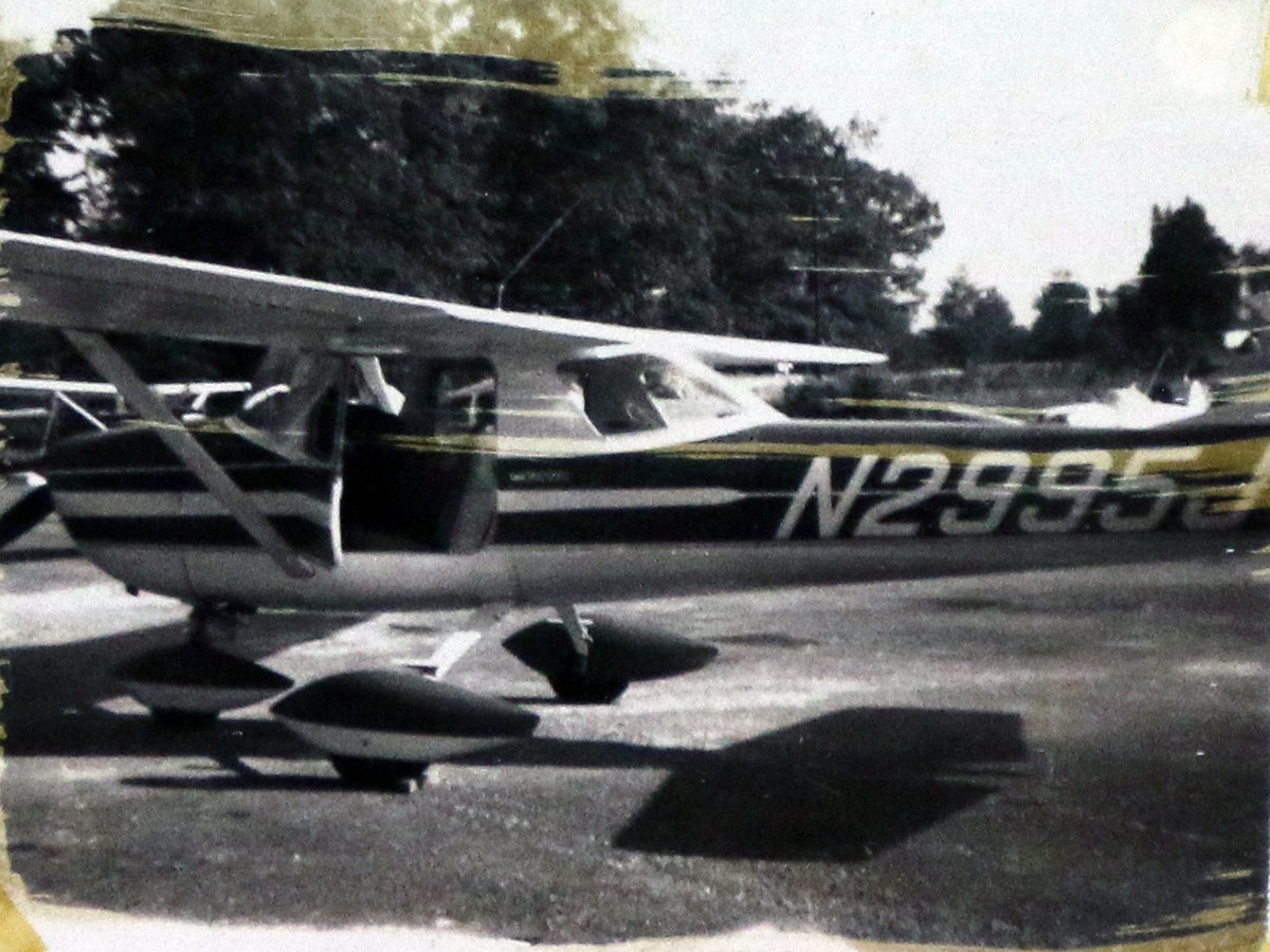
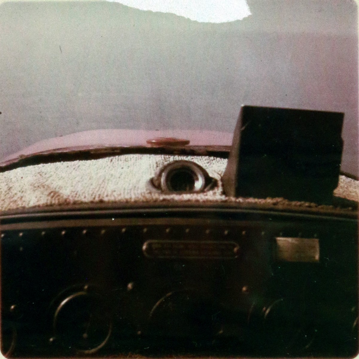
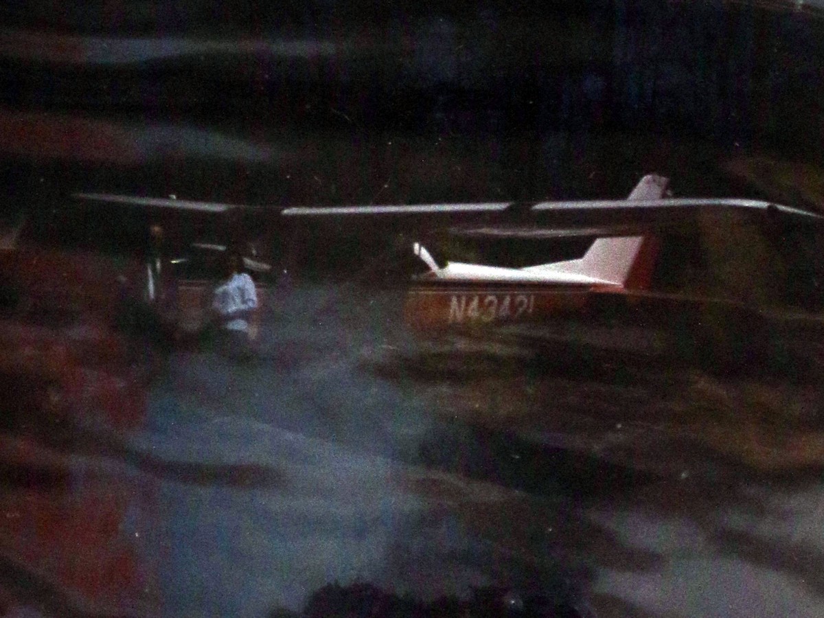
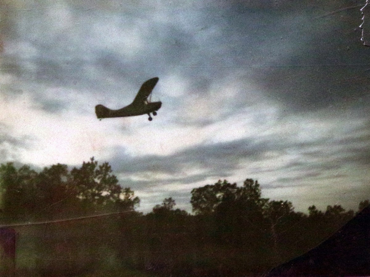
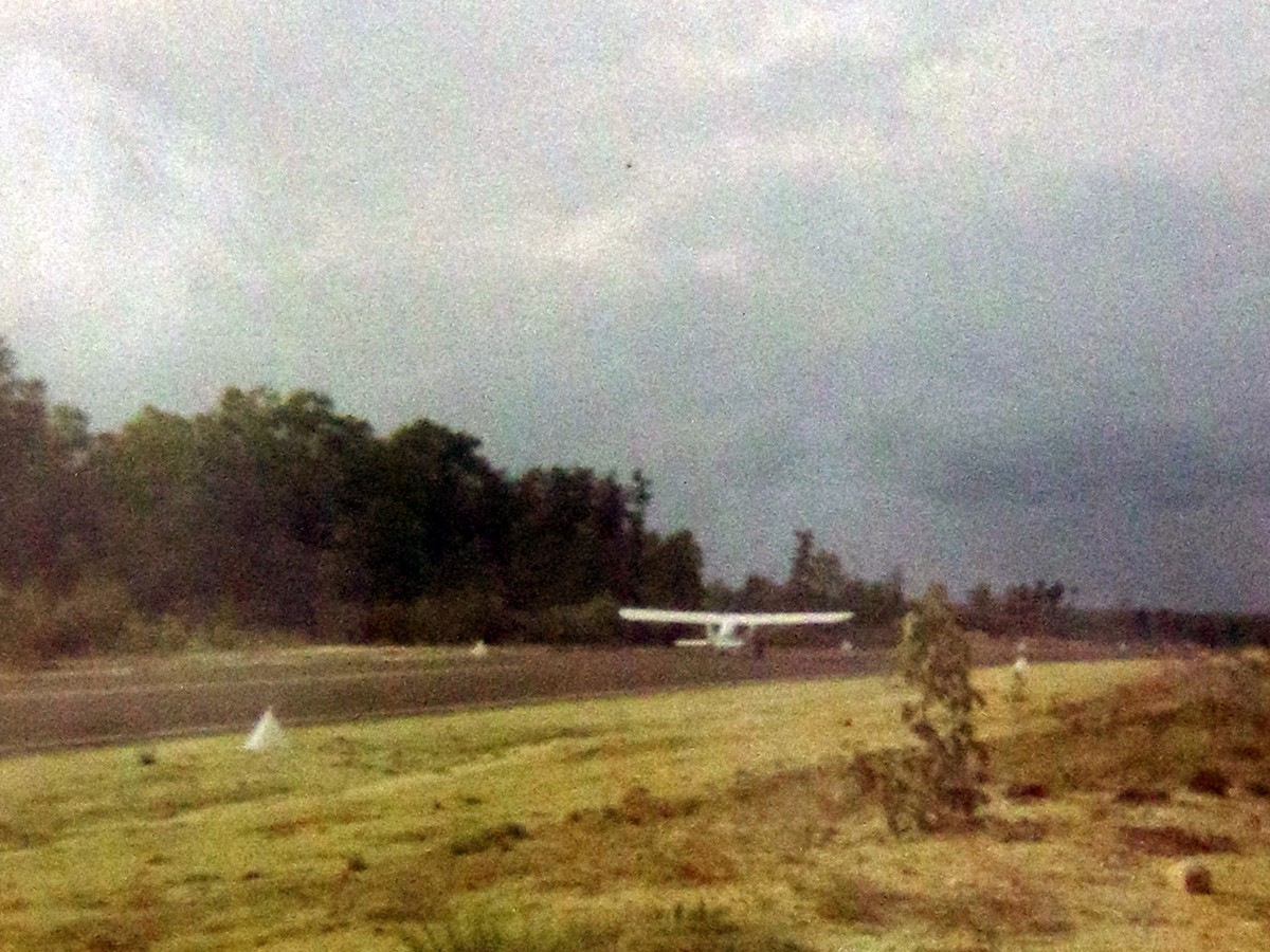
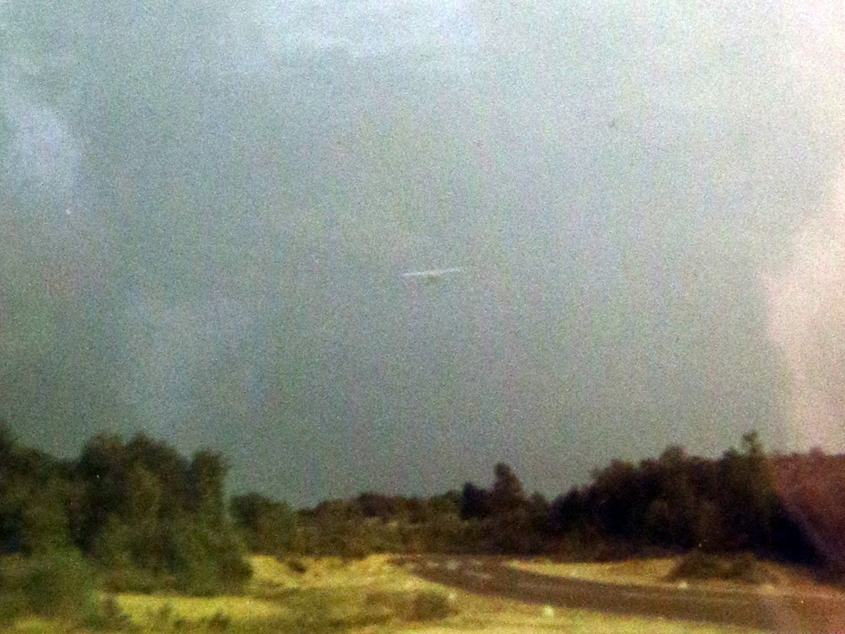
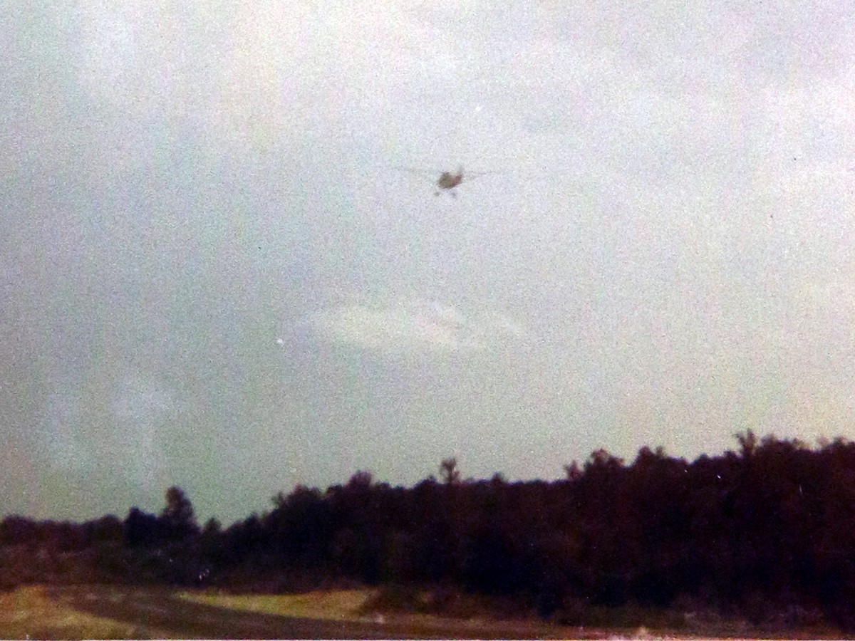
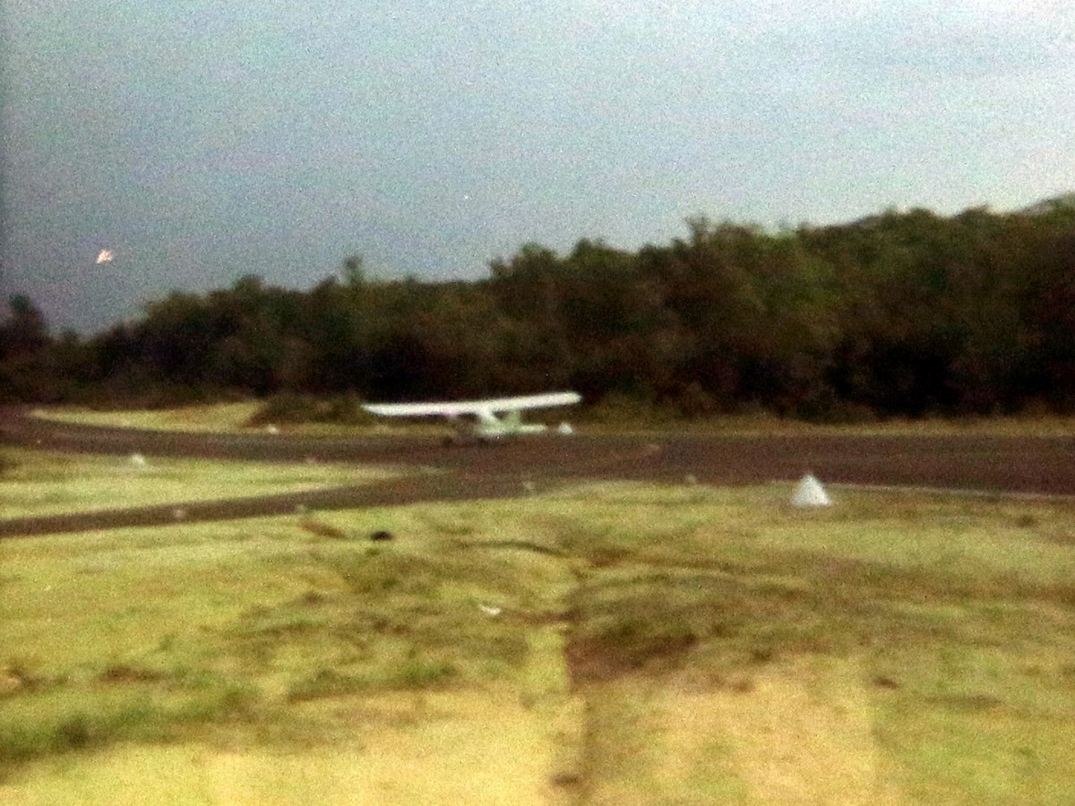
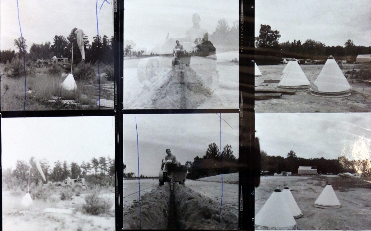
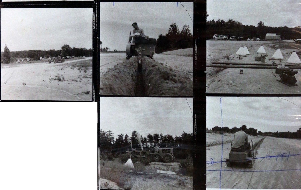
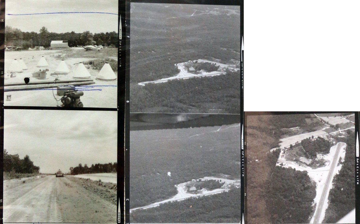
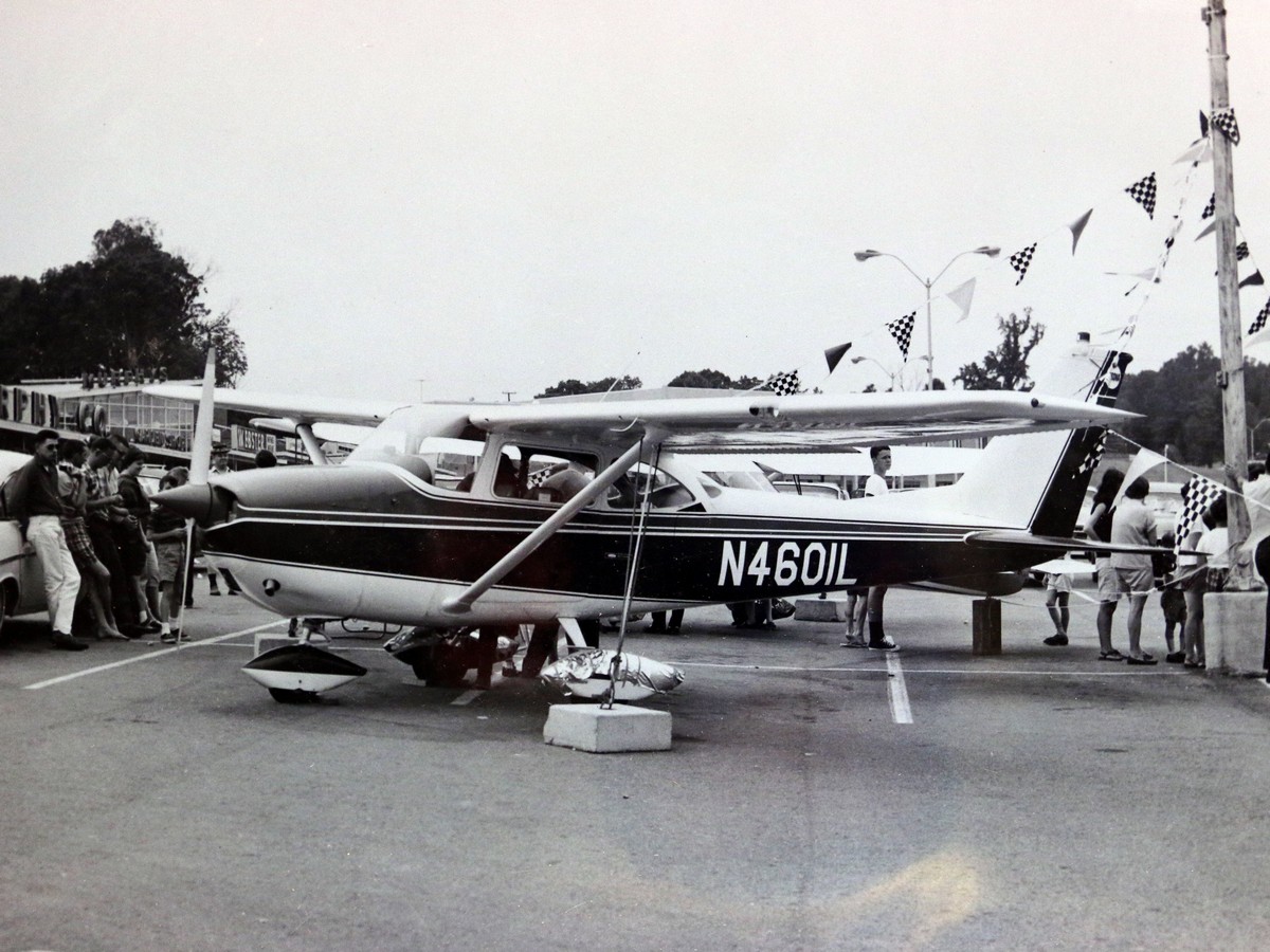
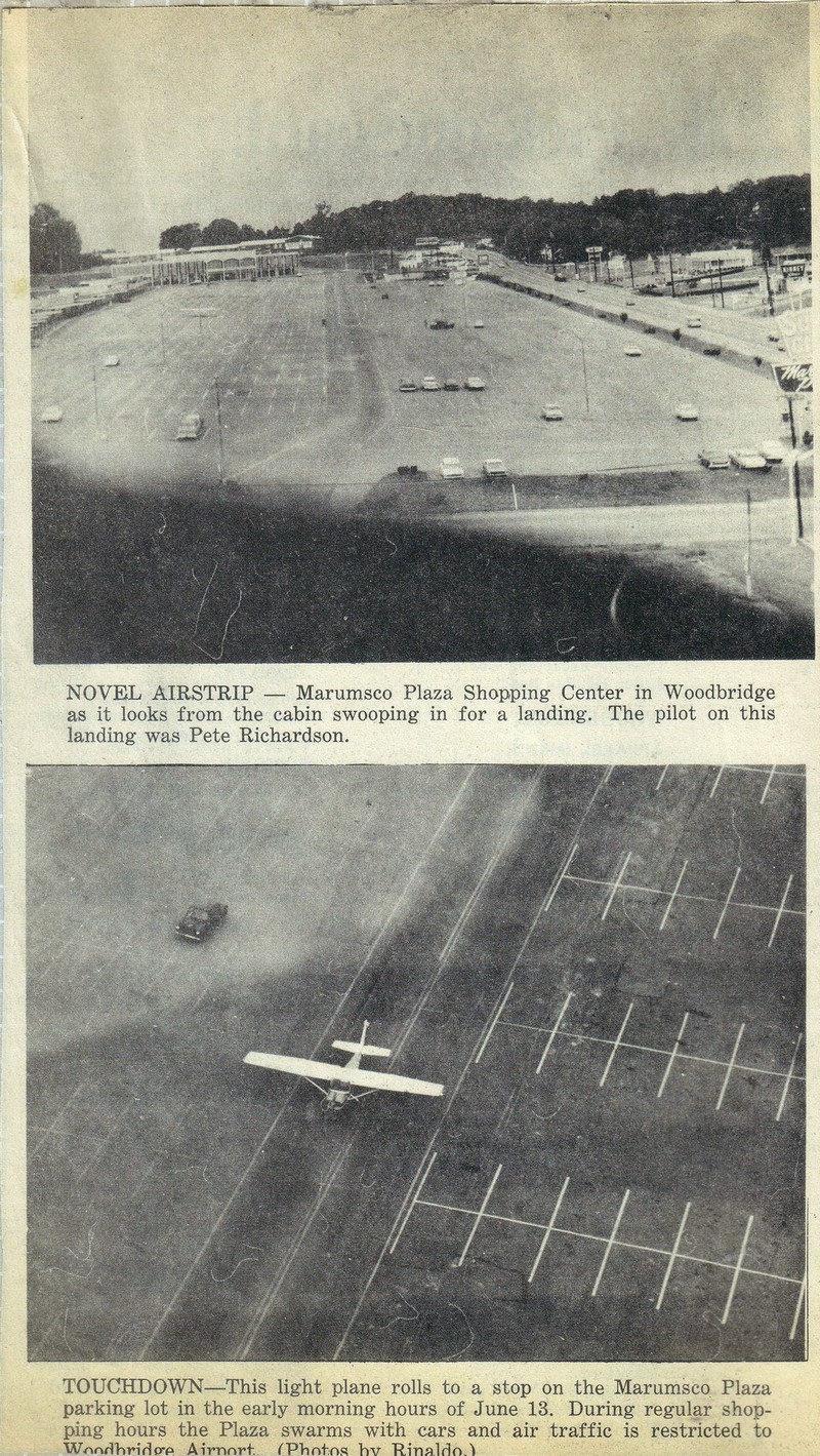
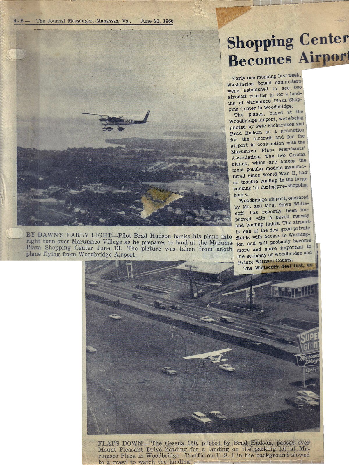
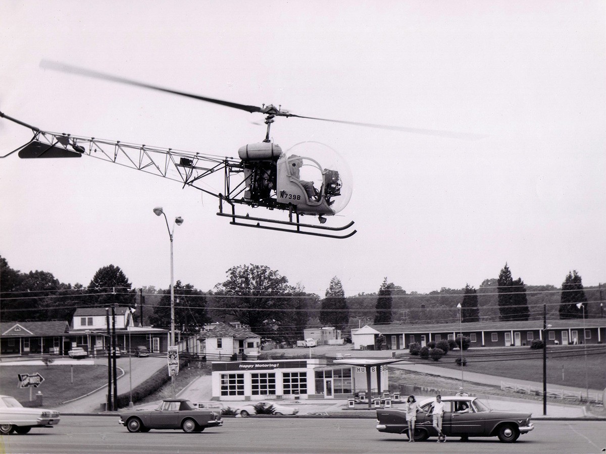
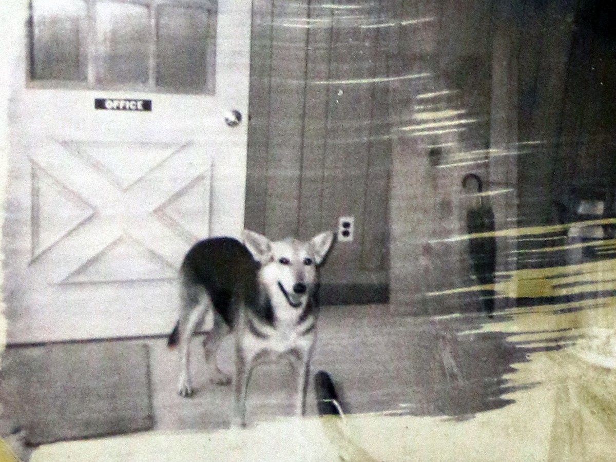
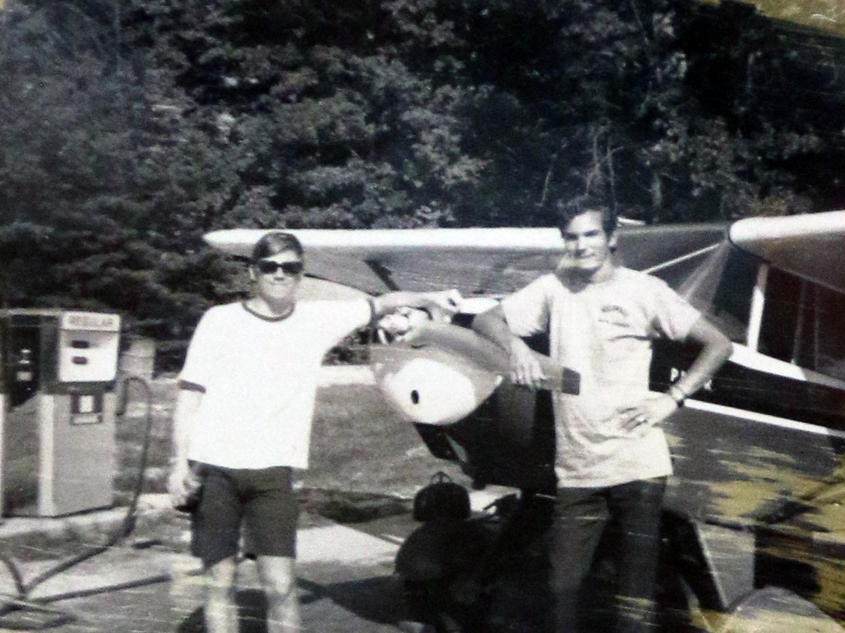
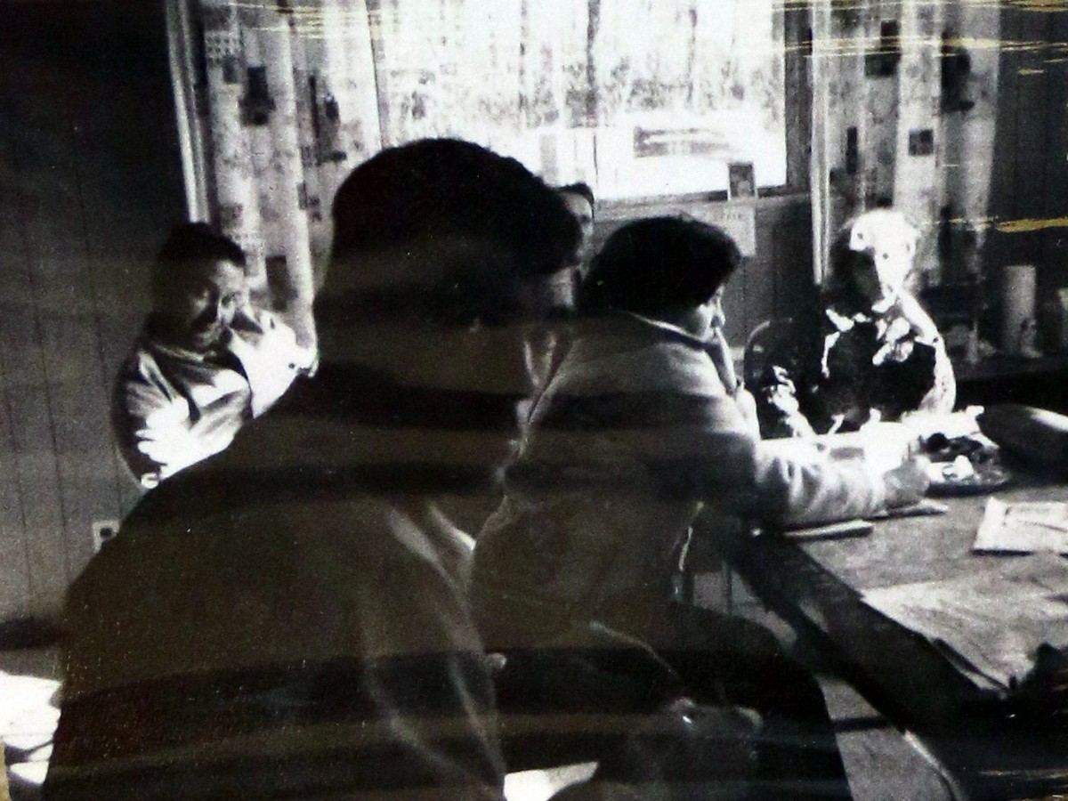
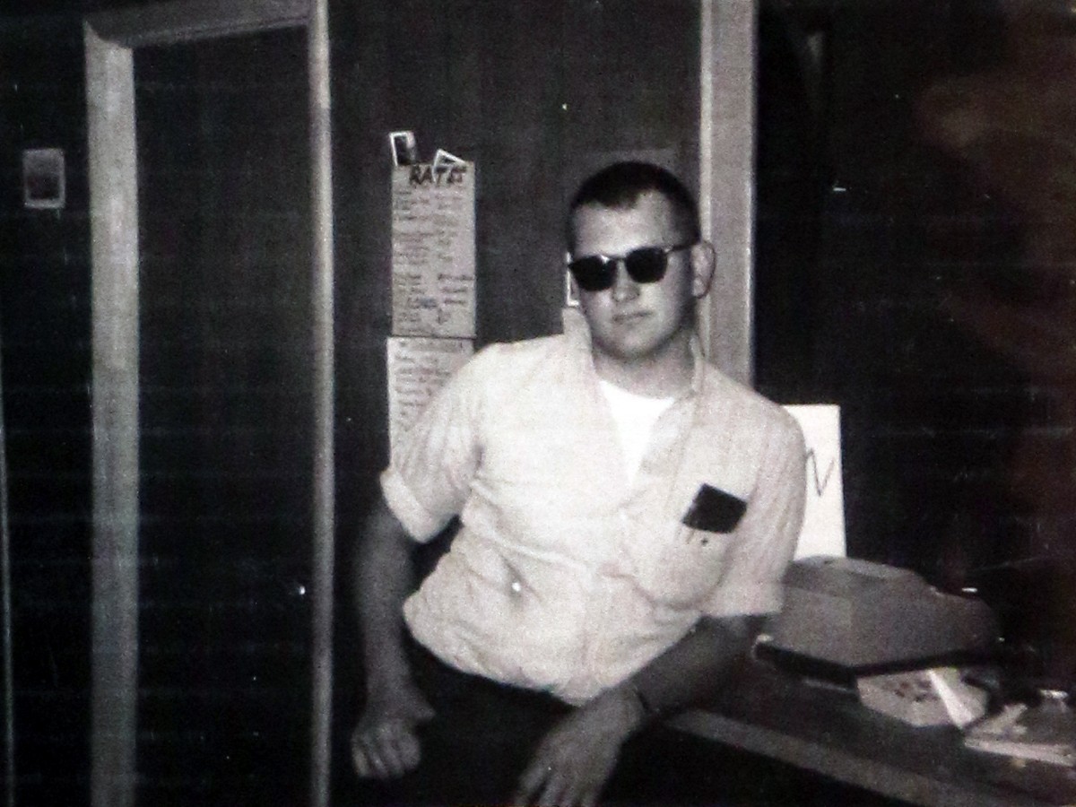
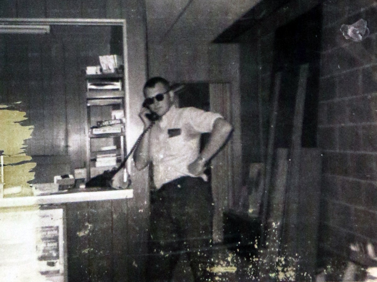
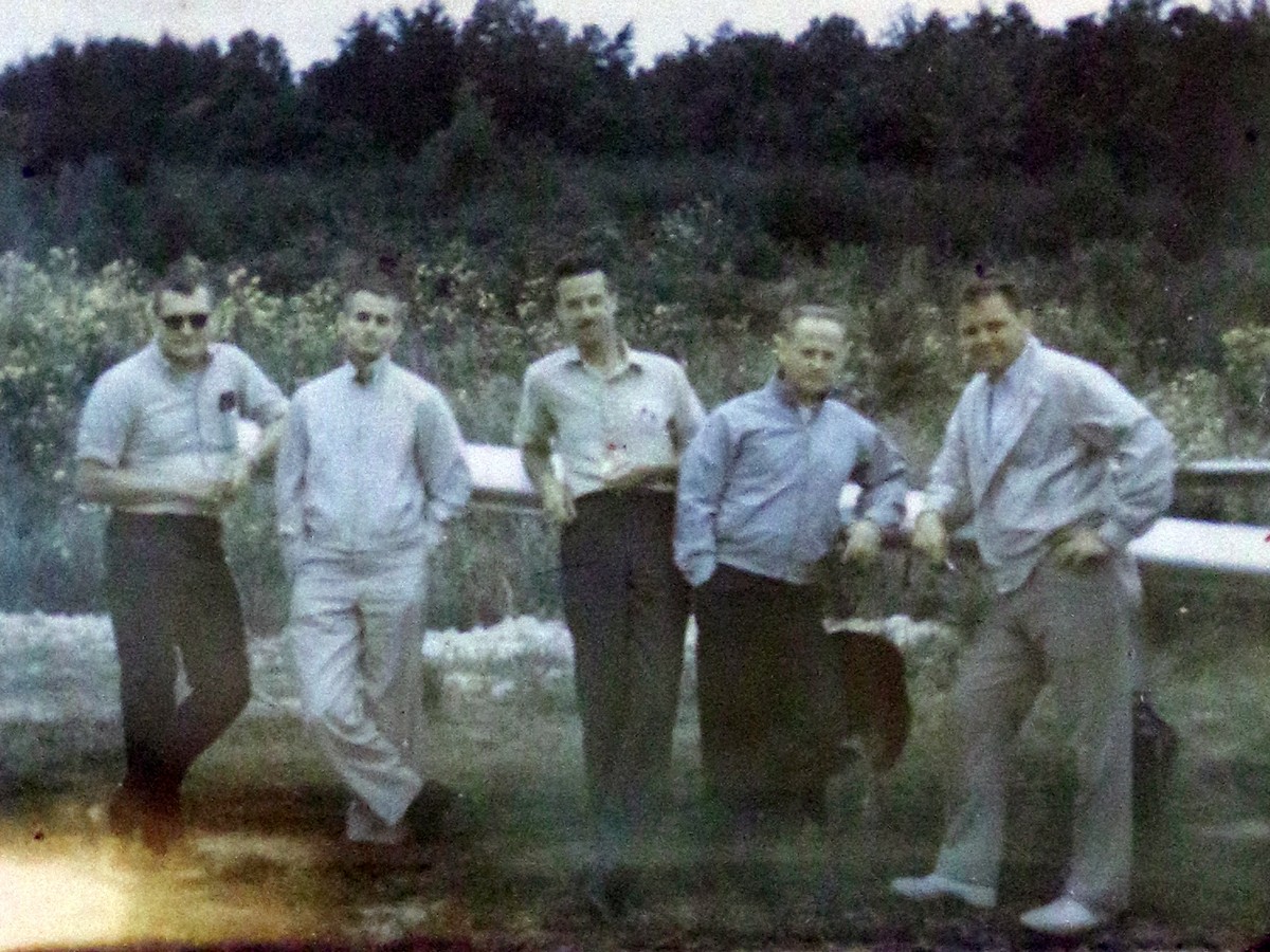
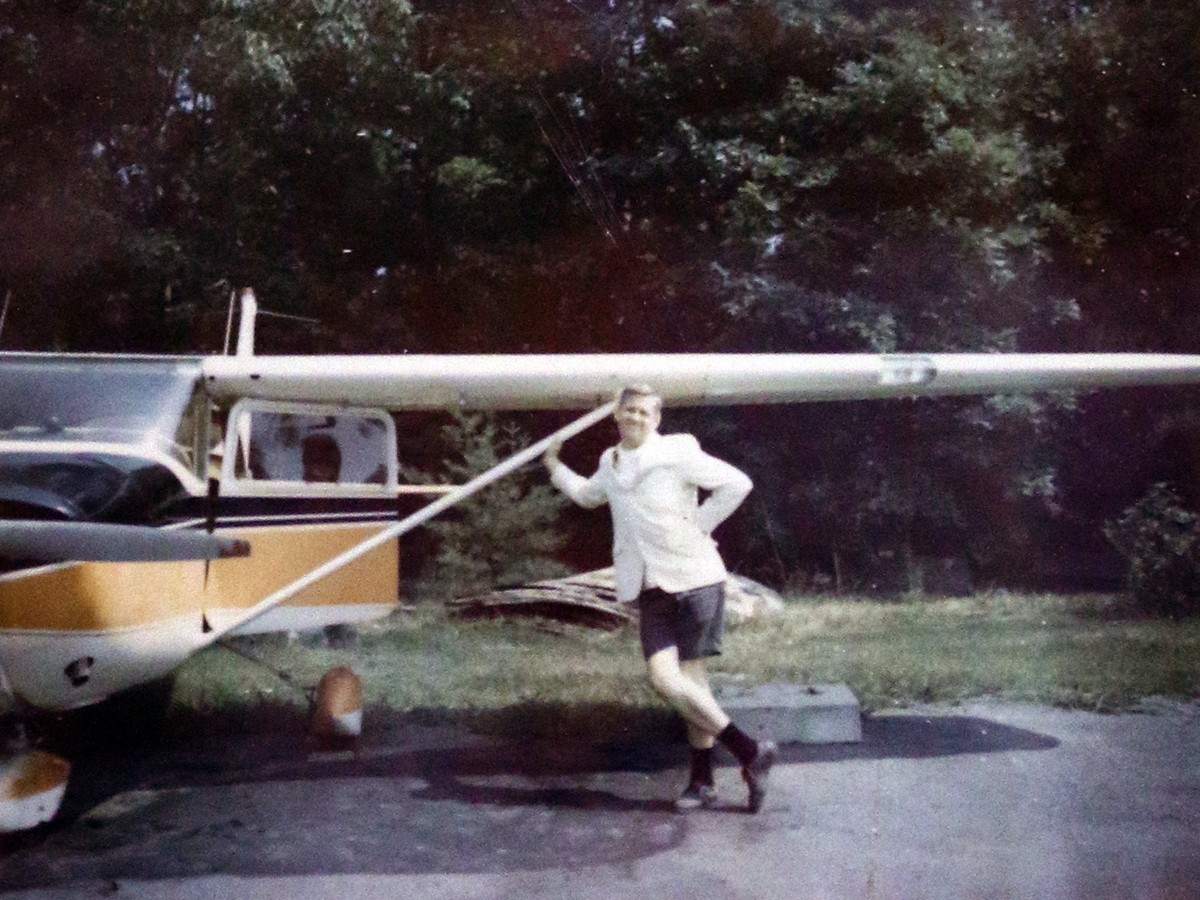
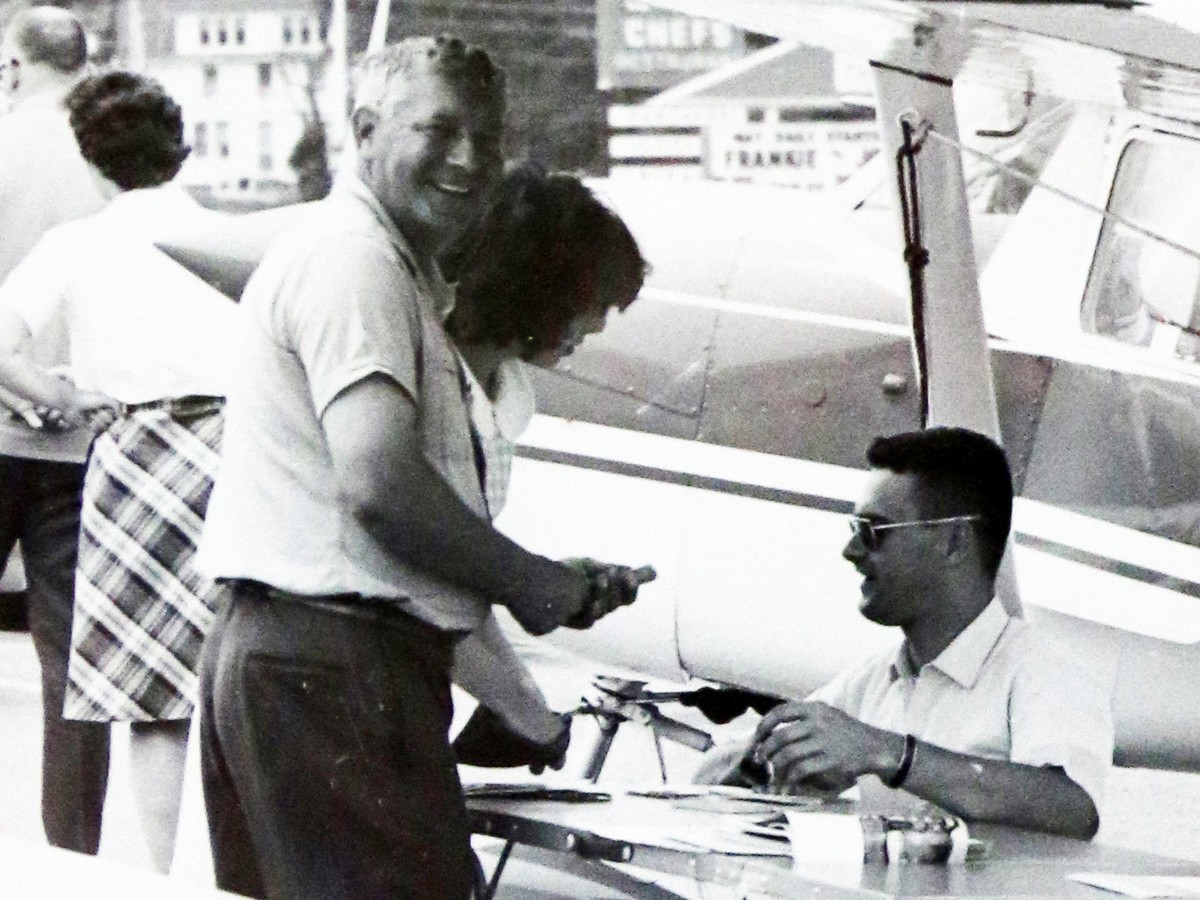
In the mid 1970's Ed Stallknecht flew out of the Woodbridge Airport often. Stallknecht was a local Real Estate agent who focused on land sales and was known as the "Flying Realtor". Stallknecht enjoyed taking pictures and we have over 400 of his photos in the Ed Stallknecht photo collection. A few photos he took of the Woodbridge Airport are below.
A cemetery very close to this location that is related to the actor Robert Duvall can be read on the Duvall Cemetery Page.
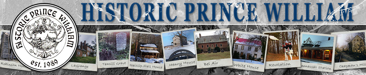
 The wooden bridge crossing Hooes Run that New Bridge/Bridge/Old Bridge Road was named after. This is not the wooden bridge Woodbridge was named after.
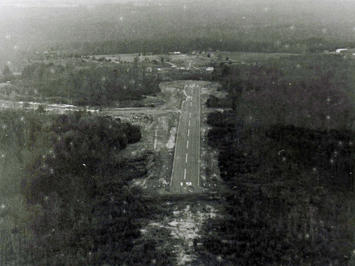
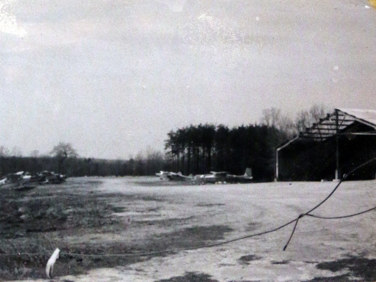
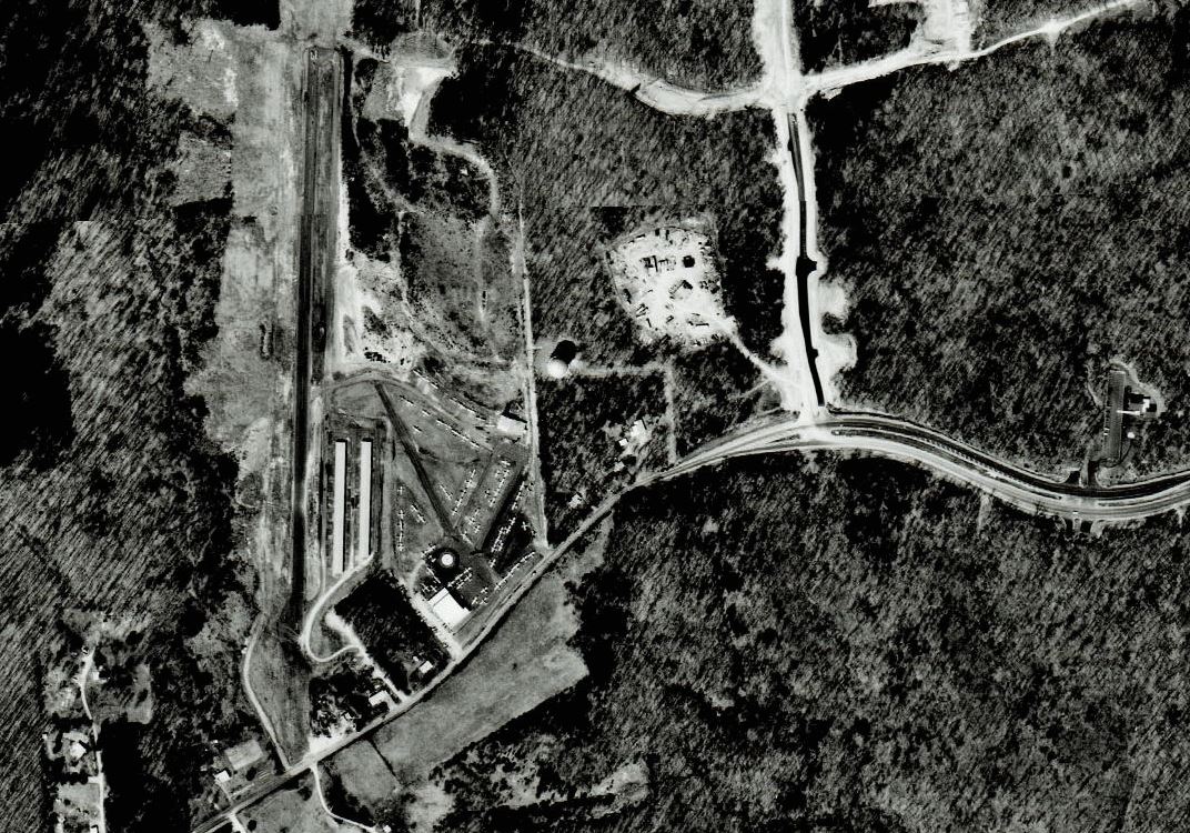 View of the Woodbridge Airport in 1979.
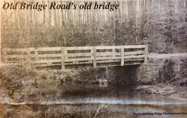
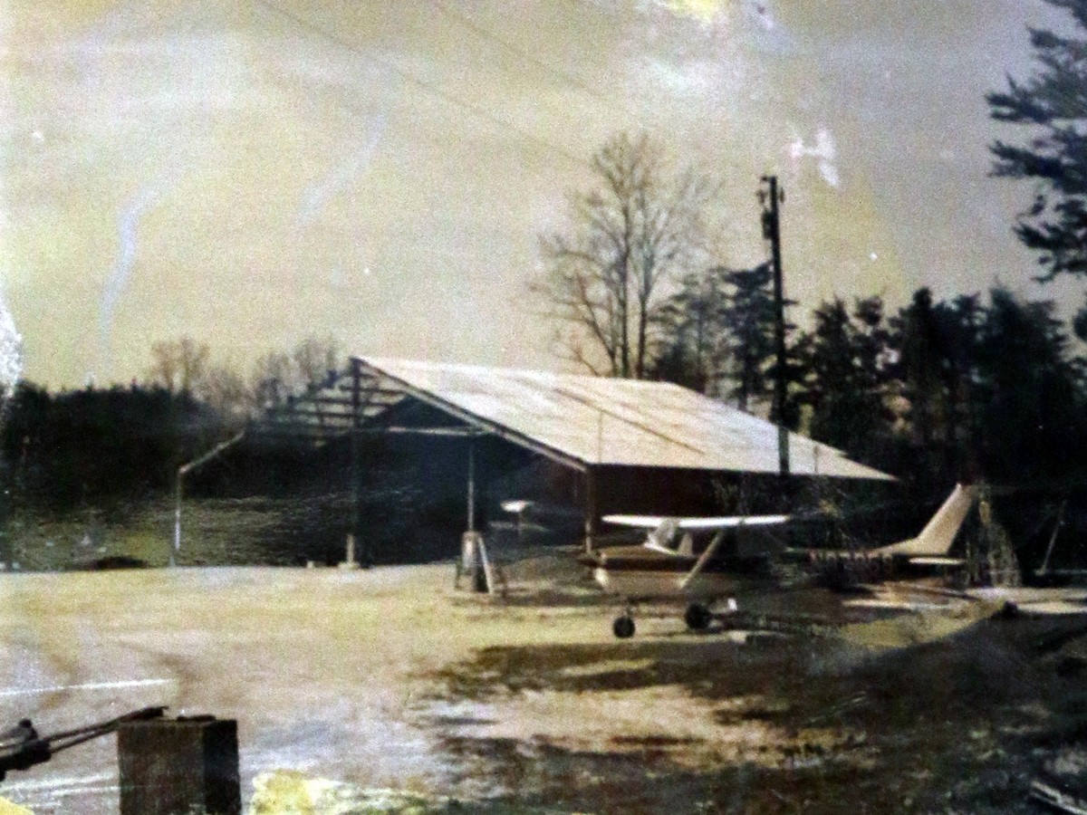
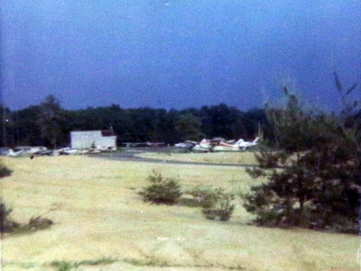
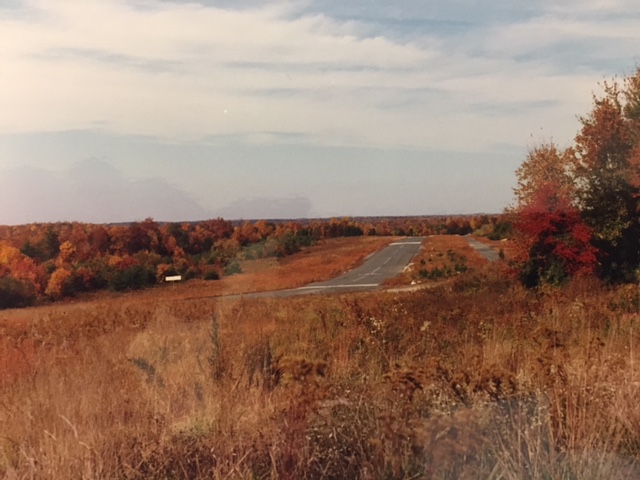 View of the Woodbridge Airport in the late 1980s, shortly after it closed.
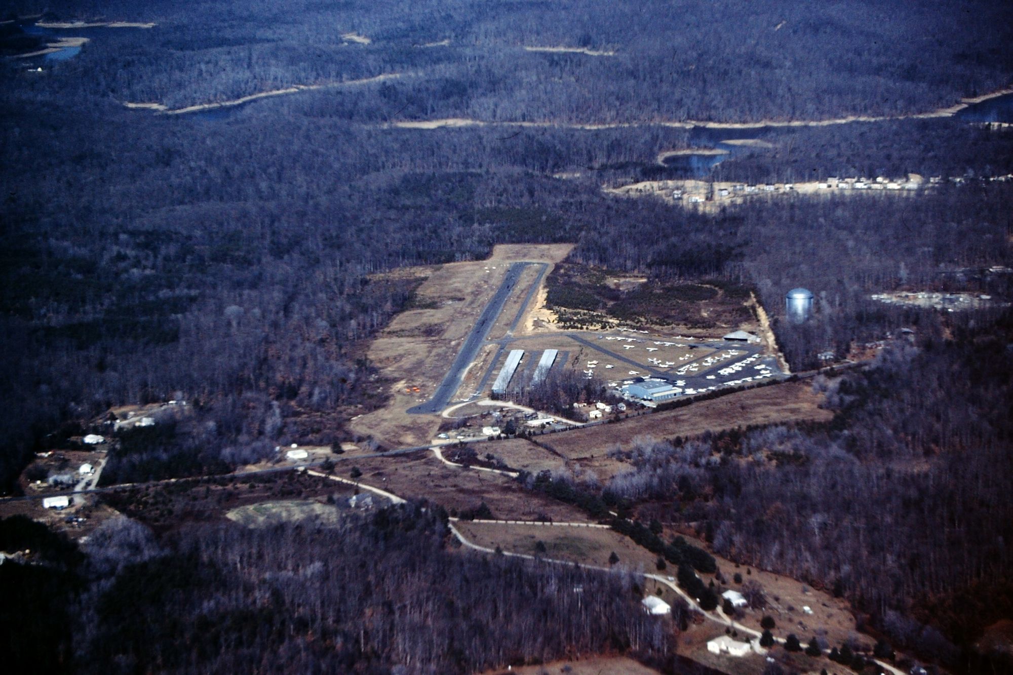
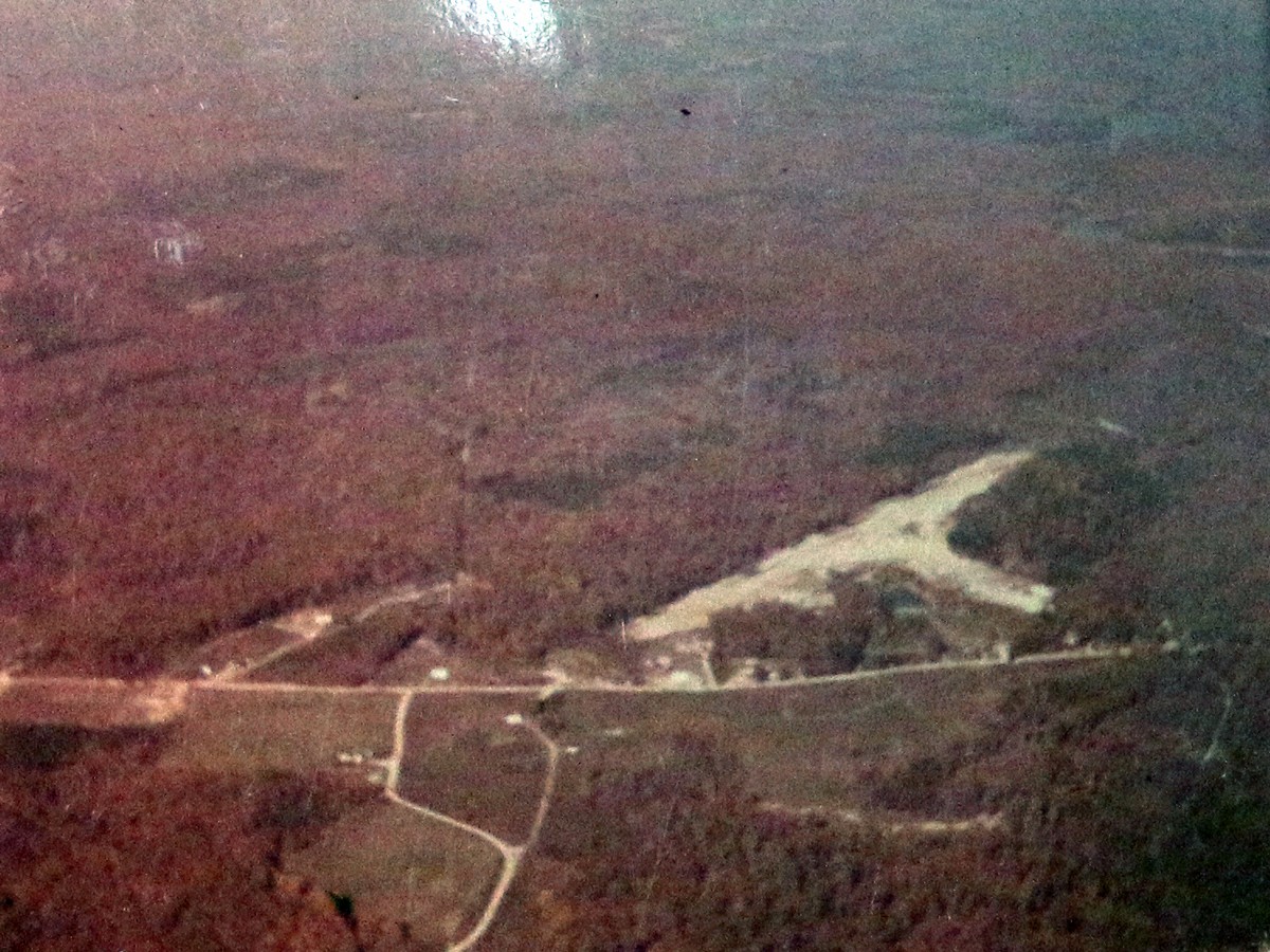
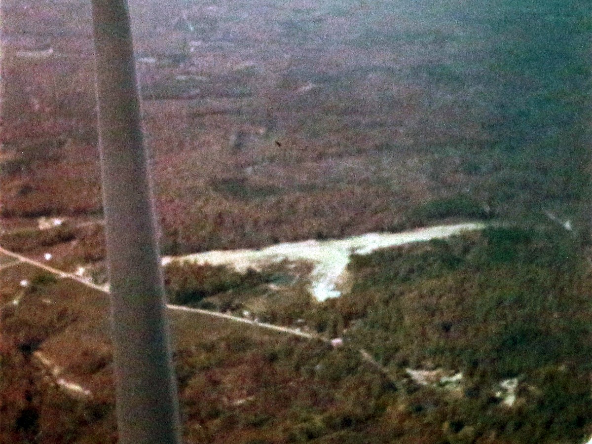
 Undated photo showing the lack of area development. You can see Old Bridge Road from Woodbridge High School as a large developed road then reduces to a single lane each way. No townhouses or condos.
full size
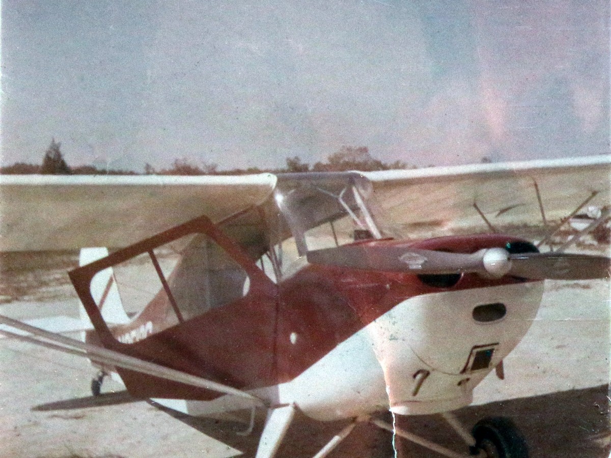
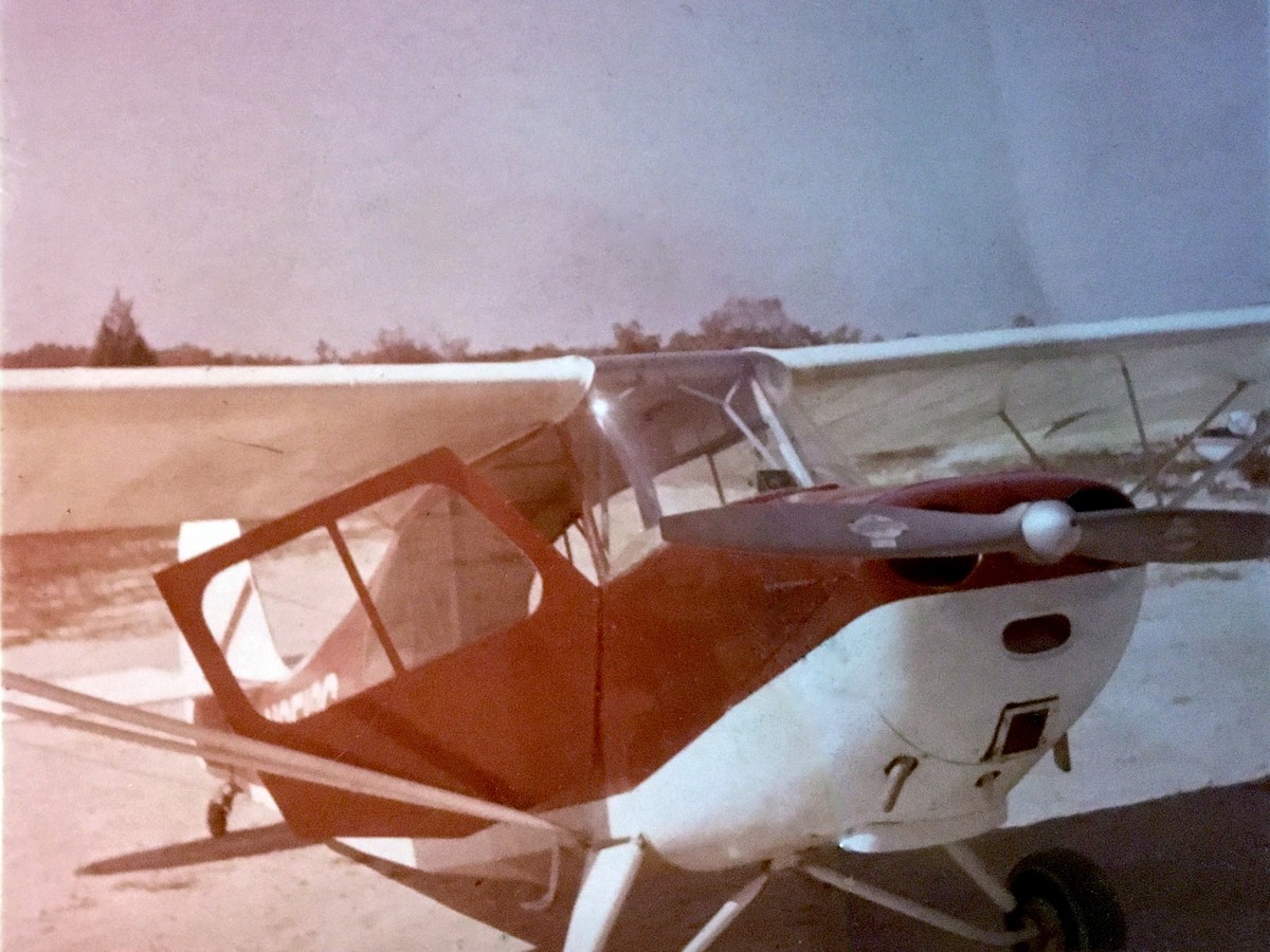
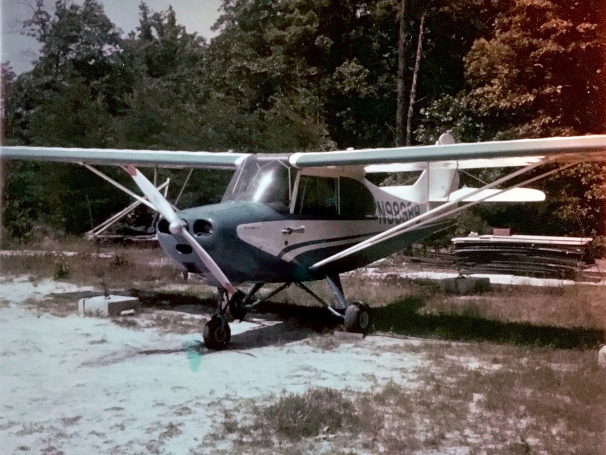
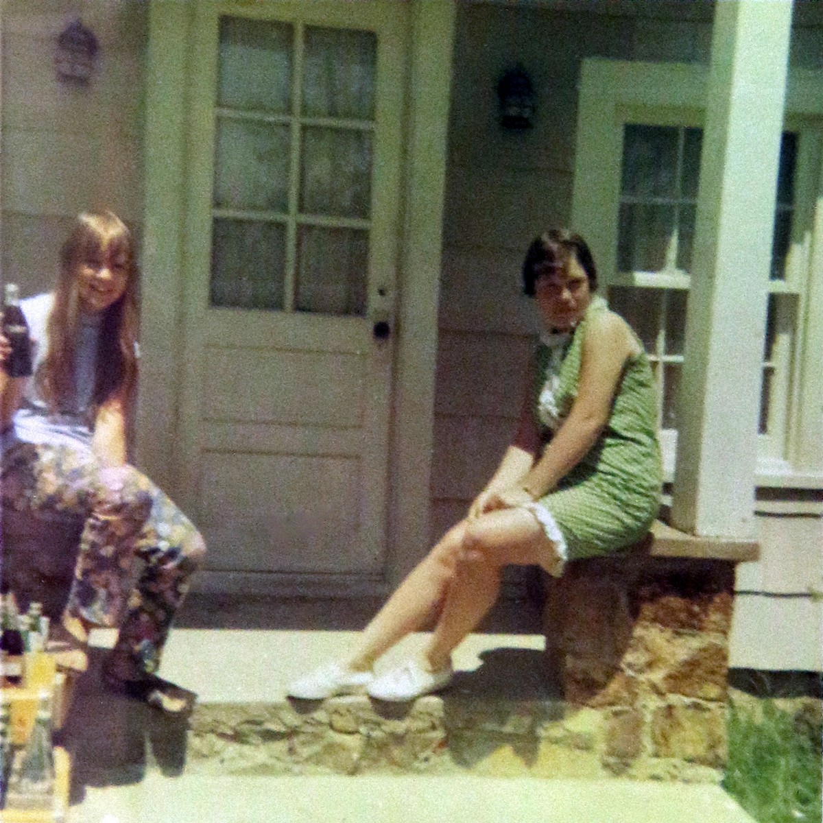
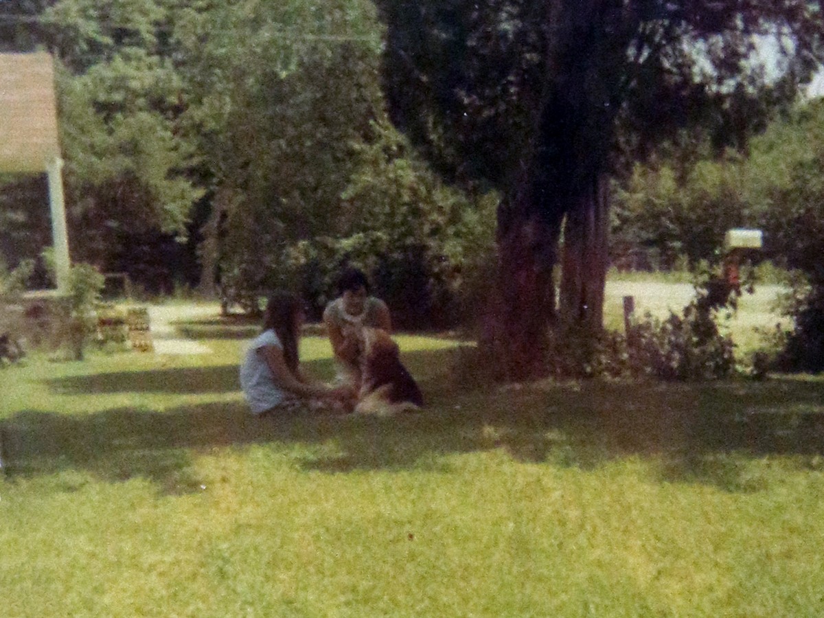
Photos Provided by the Whitecoff Family
Do you have comments, corrections, personal stories, or questions? Email info@historicprincewilliam.org